Ephemeral Lines: The Challenge of Reconstructing Lost Map Details
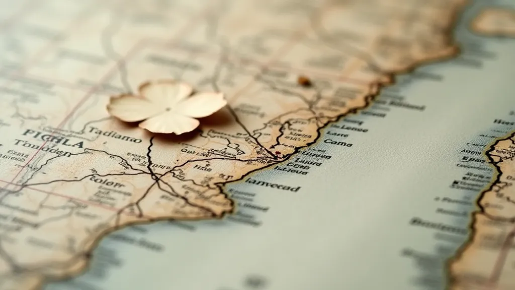
There’s a quiet dignity to an antique map. More than just geography rendered on paper, they are echoes of ambition, exploration, and the human desire to understand the world. Each crease, each faded ink line, whispers a story – of cartographers toiling by candlelight, of explorers charting unknown territories, and of countless hands that have carefully unfolded and studied them. As an antique map restoration specialist, I've spent years immersed in these stories, meticulously caring for these fragile artifacts. And sometimes, the challenge isn't just about preservation; it's about making delicate, responsible choices when faced with loss – when parts of the map have simply vanished.
My earliest memory connected to map restoration involves a 17th-century Dutch sea chart. The owner, a passionate collector, was distraught. A significant portion of the coastline had been lost, likely due to water damage and subsequent attempts at hasty repair long ago. He’s now elderly, and his desire to see that map whole again was palpable. It wasn't simply about aesthetics; it was about re-establishing a connection to his family history – the map had belonged to his great-grandfather, a merchant who sailed these very waters. The emotional weight of that request felt profound, and it underlined a crucial ethical dilemma inherent in antique map restoration: how far can – and *should* – we go in reconstructing the lost?
The Ethical Tightrope: What Constitutes Responsible Restoration?
The prevailing philosophy in map conservation is minimal intervention. We aim to stabilize the existing condition, halt further deterioration, and prevent any action that would irreversibly alter the artifact's historical integrity. Reconstruction, by its very nature, deviates from this principle. Introducing new materials, even those carefully selected to match the age and appearance of the original, is an act that can be debated for generations.
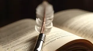
Imagine a skilled cartographer of the 16th century meticulously crafting a map. Every detail, every contour line, represented countless hours of observation, calculation, and artistic skill. To then introduce a new line, a new contour, based on educated guesswork, is to subtly alter that original intention. It’s a decision that demands the utmost humility and a deep understanding of the historical context.
Historical Context: A Guiding Light
The key to responsible reconstruction lies in rigorous historical research. We delve into contemporary maps, contemporary accounts, and archival records to glean any information that might shed light on the missing details. What other maps from the same period depict the same area? Were there any contemporary descriptions or accounts of the coastline? Understanding the cartographer’s perspective – their sources, their biases, their likely methods – is crucial. It’s not about creating a “perfect” reconstruction; it’s about making an informed, educated approximation grounded in historical evidence.
Consider, for example, a map showing the coastline of the New World. Early European cartographers often relied on accounts from explorers and indigenous populations, which could be inaccurate or incomplete. A missing section of coastline might require piecing together clues from multiple sources, recognizing that the final reconstruction will always be an interpretation, not a definitive recreation.
Techniques: From Informed Guesswork to Subtle Integration
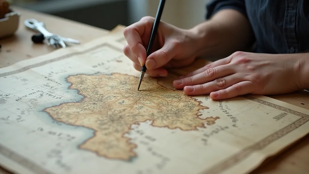
When reconstruction is deemed necessary and historically justifiable, the techniques employed must be equally discreet. We use archival-quality materials that are compatible with the original paper – typically, handmade paper with a similar texture and weight. The inks are carefully chosen to match the original color and opacity. Importantly, the reconstruction isn't intended to be a seamless integration. Subtle variations in texture and ink tone are deliberately introduced to differentiate the reconstructed area from the original, acting as a visual cue for future conservators and scholars.
The process often involves layering techniques. First, a support system – typically a thin, Japanese tissue – is applied to the fragile area. Then, the missing details are drawn in, using a light hand and archival inks. The goal isn’t to create a perfect copy, but to provide a legible, historically plausible representation of the missing information. We often employ a 'ghosting' technique, leaving faint traces of the reconstruction visible under certain lighting, further highlighting the fact that the area is a later addition.
The Value of Imperfection: Embracing the Map’s Journey
There's a certain beauty to be found in the imperfections of antique maps. The foxing, the water stains, the tears – these are not flaws to be eradicated; they are evidence of the map's journey through time. They tell a story of survival, of resilience, of countless hands that have unfolded and studied it over the centuries. To relentlessly pursue perfection in restoration is to erase that history, to sanitize the map of its unique character.
The best map restoration isn’s always about making something “look new.” It’s about stabilizing its condition, preserving its historical integrity, and respecting its unique story. It's about acknowledging that an antique map is not just a geographical representation; it’s a cultural artifact, a window into the past, and a testament to the enduring power of human exploration.
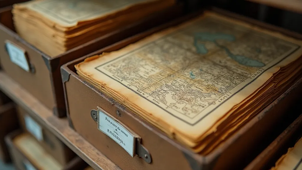
Archival Storage: Protecting the Restored Artifact
Even after meticulous restoration, the long-term preservation of an antique map depends on proper archival storage. This involves creating a stable, climate-controlled environment – low humidity, consistent temperature, and protection from direct sunlight and pollutants. Maps should be stored flat, supported by acid-free boards, and protected within archival-quality folders and boxes. Regular monitoring of storage conditions is also crucial to ensure the map's continued stability.
Proper archival storage is the final act of respect for these fragile treasures. It's a commitment to ensuring that future generations can appreciate the beauty and historical significance of these ephemeral lines, carefully reconstructed and respectfully preserved.