Architects of Distance: The Subtle Art of Map Projection Correction
Antique maps aren't merely geographical representations; they are portals to another time, windows onto the world as perceived by those who came before. They whisper tales of exploration, empire, and the relentless human desire to understand and control our surroundings. But these beautiful artifacts, often treasured for their artistry and historical significance, are rarely perfect geographical replicas. They are interpretations, compromises – born from the inherent challenge of representing a sphere on a flat surface. A significant, often overlooked aspect of their preservation lies in understanding and occasionally, subtly, correcting distortions introduced by map projection.
I remember the first time I truly grasped the complexity. A client brought in a stunning 17th-century Ortelius map of the Americas. The colours were vibrant, the cartography intricate, but the coastal outlines of South America were…off. Distorted. It wasn’t a tear, or staining, it was embedded in the very essence of the projection itself. He's a meticulous collector, and noticed the discrepancies. It was then I realised that map restoration wasn’t simply about cleaning and repair, but also about appreciating the intellectual and artistic choices that went into creating these representations.
The Problem of Projection
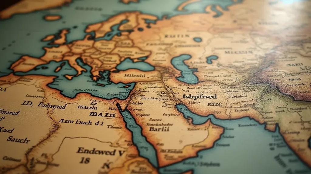
The journey of mapmaking begins with the inescapable problem of projection. Imagine peeling an orange and trying to flatten its skin without tearing it. Some distortion is unavoidable. Different projections prioritize different aspects – area, shape, distance, or direction – inevitably sacrificing accuracy in others. Mercator, the projection most familiar to us due to its prevalence in navigation, preserves direction but grossly distorts area. Greenland, for example, appears larger than Africa, a notion wildly inaccurate and a testament to the projection's inherent bias.
Early mapmakers were acutely aware of these compromises. They were mathematicians, astronomers, artists, and explorers, often all rolled into one. They didn't have the sophisticated tools we possess today, yet they developed ingenious projections that served specific purposes. The Plate Carré projection (simple cylindrical projection) was often used early on. Understanding which projection was used is crucial when evaluating an antique map’s accuracy and interpreting its historical context. It’s akin to understanding the lens through which the mapmaker viewed the world.
The Challenges of Correction
The question then arises: can we “correct” these distortions? The simple answer is, rarely, and with extreme caution. Any attempt to remove the inherent bias of a map projection risks fundamentally altering the historical document and misrepresenting the cartographer's original intention. We are not correcting an error; we are dealing with a deliberate choice made within a specific framework.
However, in certain cases, minor adjustments might be considered, primarily to improve legibility or to mitigate particularly egregious distortions that obscure geographic features. This is not about creating a perfectly accurate map but rather about enhancing its usability and appreciating its artistic merit.
These adjustments are subtle, requiring an intimate understanding of cartographic principles, the specific projection used, and the map’s historical context. It's a process that demands patience, precision, and a deep respect for the original artifact. We might, for instance, very subtly re-align coastlines to improve visual clarity, using techniques that minimize intervention and maintain the map’s integrity. This is more about gentle guidance than forceful correction.
Preservation Considerations: A Delicate Balance
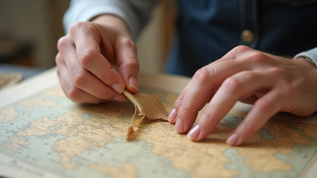
Preservation is paramount. Any intervention, no matter how minor, carries the risk of damage. The paper itself is fragile, often brittle with age. The inks are susceptible to fading and bleeding. The adhesives used to mount the map over the centuries can become acidic and degrade the paper. Before any adjustment is considered, a thorough condition assessment is essential.
Deacidification, a common preservation technique for paper-based artifacts, is crucial. Acidic paper degrades over time, becoming brittle and yellowed. Treating the map with an alkaline solution neutralizes the acid, extending its lifespan and preventing further deterioration. This is a foundational step before any attempts at visual correction are even contemplated.
Repairing tears and reinforcing weak areas is another essential part of the process. Japanese tissue paper, a conservator’s staple, is used to mend rips and reinforce fragile sections. These repairs are made with archival-quality adhesives that are reversible, ensuring that they can be removed without causing further damage if necessary. The adhesive’s longevity and compatibility with the map’s materials are always the primary concerns.
Dating Methods and Historical Context
Understanding a map’s origins and the context in which it was created is as important as its physical preservation. Map dating methods vary depending on the map's age and materials. Examining the paper’s watermark can provide clues about its manufacturer and approximate date. Analyzing the style of cartography, the presence of specific place names or political boundaries, and the map’s decorative elements can also provide valuable insights.
For example, a map depicting a region under Portuguese rule during the Age of Exploration would likely reflect Portuguese naming conventions and territorial claims. The presence of mythical creatures or unexplored territories often reveals the limits of geographical knowledge at the time.
These historical details are not simply footnotes; they are integral to the map’s narrative. They tell a story about the world as perceived by those who created and used it. Understanding this narrative allows us to appreciate the map not only as a piece of art but also as a historical document.
Folding Techniques and Archival Storage
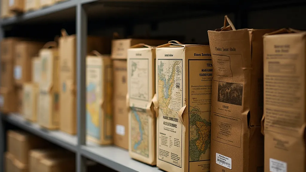
Proper archival storage is the final, yet crucial, step in preserving an antique map. Maps were often folded for storage and transportation, and these folds can become permanent creases that weaken the paper. Refolding a map along its original lines can help to relax these creases and restore its original form. However, this process must be carried out with extreme care to avoid causing further damage.
Storing maps in acid-free folders and boxes protects them from light, humidity, and pollutants. Flat storage is preferred to prevent warping, but when folding is necessary, it should be done along the original fold lines. Controlling the environment—temperature and humidity—is vital for long-term preservation.
The art of map projection correction, and indeed the entire process of antique map restoration, is a delicate dance between preservation and understanding. It demands a reverence for the past, a mastery of technical skills, and a deep appreciation for the human endeavor of mapping the world. It's a privilege to be a steward of these historical treasures, ensuring that they continue to inspire and inform generations to come.