Beyond the Borders: Understanding the Cultural Context of Antique Maps
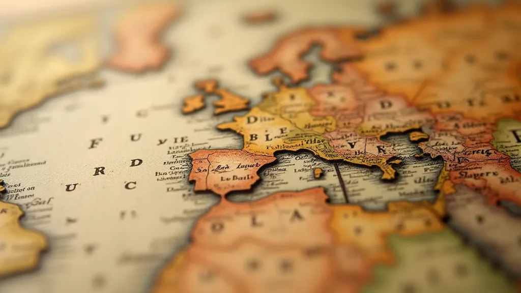
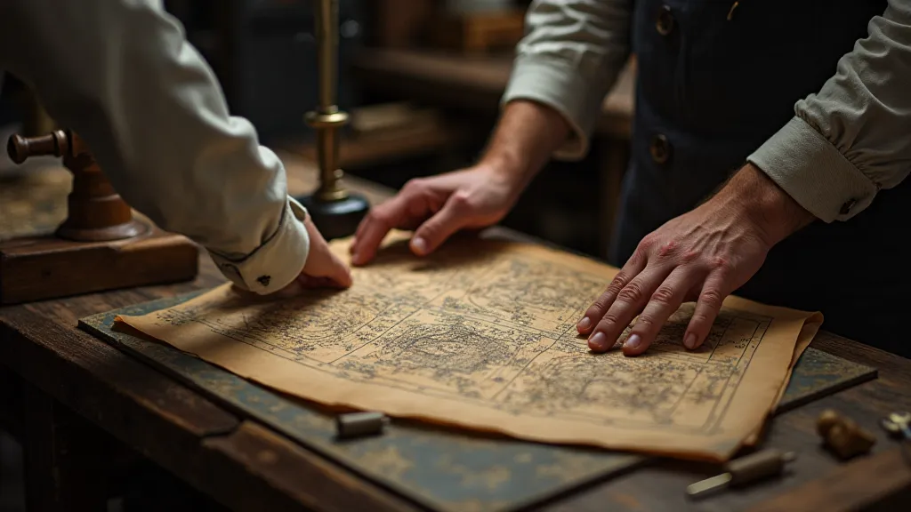
There's a certain magic that emanates from an antique map. It's not just the faded colours, the delicate paper, or the intricate detail; it's the whisper of history contained within its borders. Holding one in your hands is like connecting to a past teeming with ambition, exploration, and profound shifts in human understanding. My own journey into the world of antique map restoration began with that very feeling - an overwhelming sense of awe and responsibility to preserve these tangible links to the past. It’s more than just repairing paper; it’s understanding the story it tells.
As specialists in antique map restoration, we often encounter questions about dating and preservation, but the most rewarding aspect of our work is uncovering the cultural narrative embedded within the cartography itself. These weren't just accurate portrayals of the world, not even by the standards of the time; they were powerful statements reflecting the political ambitions, religious beliefs, and scientific knowledge of the era they were created in. To truly appreciate an antique map, we must look *beyond* the borders – beyond the meticulously drawn coastlines and mountain ranges – and consider the climate of thought that shaped their creation.
The Age of Exploration and the Map as Propaganda
The 16th and 17th centuries, the height of the Age of Exploration, provide a particularly illuminating example. European powers – Spain, Portugal, England, France, and the Netherlands – were engaged in a relentless scramble for global dominance. Maps became essential tools in this contest. Consider Gerardus Mercator’s world map of 1569. Mercator's projection, while revolutionary for navigation, also had a significant impact on the perceived size of continents. Continents nearer the North Pole, like Greenland, appeared dramatically larger than they actually were, inadvertently reinforcing the importance of northern trading routes in the European mind. This wasn’t necessarily a deliberate act of deception; it was a reflection of the biases and priorities of the time.
Furthermore, cartographers often included symbolic representations of territories they claimed but hadn't fully explored or controlled. Mythical creatures – sea monsters, fantastical beasts – were not merely decorative; they served to fill in the ‘blank spaces’ of the map, signifying the unknown and the potential dangers that lay ahead. These weren't mistakes; they were visual assertions of authority, a way of saying, “We believe we have a claim to this territory, even if we haven’t fully charted it.” Examining these elements reveals a fascinating interplay between scientific ambition and political posturing.
Religion and Cartography: Divine Purpose and Terra Incognita
The influence of religion on antique maps is equally profound. During the Renaissance and Reformation, maps were often imbued with a sense of divine purpose. Biblical references were frequently incorporated, and the placement of continents and territories could be subtly influenced by theological beliefs. For example, some cartographers positioned the Garden of Eden in the East, reflecting the biblical narrative. The concept of *Terra Incognita* – the unknown lands – also took on a spiritual dimension. These uncharted areas represented not only geographical mysteries but also the potential for spiritual conversion and the expansion of Christendom.
I recall one particular restoration project involving a beautifully detailed map of the Americas from the early 17th century. The map’s dedication prominently featured the coat of arms of a prominent Catholic family, and the depiction of indigenous populations seemed to reinforce a narrative of European superiority and the ‘civilizing’ mission. Understanding this context is critical when approaching any antique map; it requires us to move beyond a purely aesthetic appreciation and consider the ideological underpinnings of its creation.
The Evolution of Cartographic Techniques and Their Cultural Impact
The evolution of cartographic techniques themselves tells a story about the changing intellectual landscape of Europe. Early maps, often based on classical sources and traveler's accounts, were often inaccurate and subjective. As scientific inquiry advanced – with the development of improved surveying instruments, astronomical observations, and mathematical projections – maps became increasingly precise and standardized. The shift from subjective, artistic representations to more objective, data-driven depictions reflected a broader cultural shift towards empiricism and rationalism.
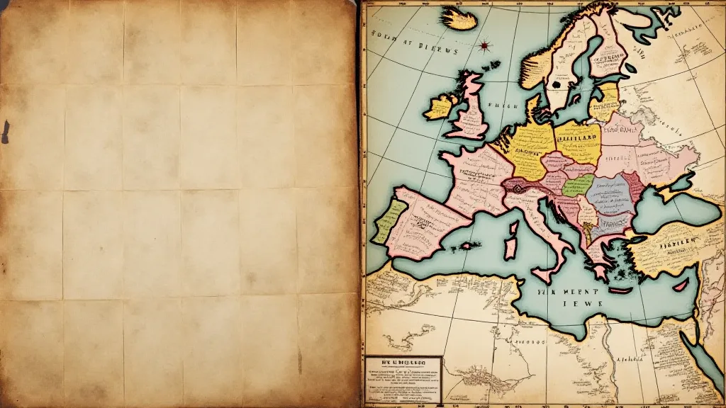
The development of the Mercator projection, for instance, while a significant advancement for navigation, also distorted the relative sizes of continents, impacting how they were perceived globally. This illustrates how even seemingly neutral cartographic techniques can be influenced by cultural biases and political agendas.
Deacidification and Preservation: Respecting the Historical Narrative
Our work in antique map restoration isn’t simply about repairing tears or cleaning surfaces; it's about respecting the historical narrative embedded within the map. Deacidification, for instance, is a critical process for preserving aging paper, but we must approach it with caution. The chemicals we use can potentially alter the map's appearance, subtly impacting its historical character. Similarly, when repairing torn maps, we strive to use materials and techniques that are as sympathetic to the original as possible, minimizing any intervention that might compromise the map's authenticity and historical integrity. Often we are striving for stability, rather than a perfect visual restoration.
Folding Techniques and the Map’s Journey Through Time
Even the way a map was folded and stored can provide valuable insights into its history. Maps were often folded in specific patterns to fit into atlases, pocket guides, or display cases. These folding patterns can reveal information about the map's original intended use and its journey through time. I’m often amazed at the fragility of the folds, the echoes of hands that have unfolded and refolded it over centuries.
Understanding the cultural context of antique maps requires a holistic approach – combining cartographic expertise with historical knowledge, artistic appreciation, and a profound respect for the past. It’s a privilege to work with these fragile artifacts, to uncover their stories, and to contribute to their preservation for future generations. Each map is a portal, inviting us to step back in time and explore the world through the eyes of those who came before us.