Cartographic DNA: Unraveling the Identity of an Unsigned Map
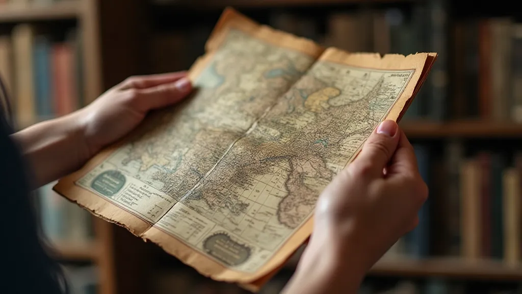
There's a particular thrill that settles in when handling an antique map, a whisper of history clinging to its aged surface. It's more than just paper and ink; it's a portal. You’re not just looking at a depiction of the world as it was, but holding a tangible piece of someone's vision, their understanding of geography, and their meticulous craft. Often, these maps arrive unsigned, orphaned from their creator’s identity, presenting a fascinating challenge: to piece together their story. To unravel their cartographic DNA.
I remember my first experience with an unsigned map. It was a small, hand-colored world map, likely from the early 18th century. The colors were faded, the paper brittle, and the legend was in a script I couldn't immediately decipher. It had been acquired by a local museum, labeled simply as “World Map, Origin Unknown.” The museum curator, a kind and patient woman named Eleanor, asked if I could offer any insight. The feeling of holding that map, knowing its origins were lost to time, sparked a passion that has guided my work ever since. It’s a detective story played out on parchment, a puzzle of geography and artistic style.
Identifying an unsigned map is rarely a simple process. It requires a blend of historical knowledge, keen observation, and a touch of intuition. There's no single, foolproof method; it’s about assembling clues and forming a reasoned hypothesis. The reward, however, is immense - connecting a nameless creation back to its rightful place in the history of cartography.
The Significance of Stylistic Analysis
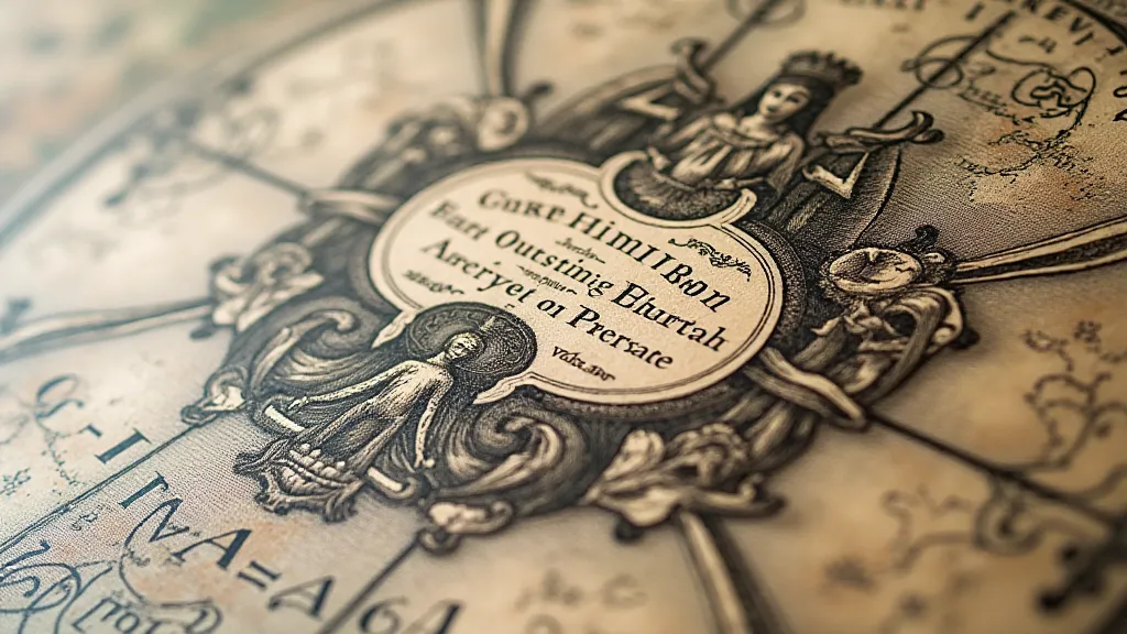
The first step is often stylistic analysis. Cartographers developed distinct styles, much like painters or writers. Examining the map's visual characteristics can provide invaluable clues. Consider the depiction of coastlines. Are they rendered with precise detail, reflecting the burgeoning accuracy of maritime exploration? Or are they more generalized, indicative of an earlier period with limited navigational data? The ornamentation is also telling. Elaborate cartouches, sea monsters, and allegorical figures can provide clues about the mapmaker’s aesthetic preferences and the prevailing artistic trends of the time. A map heavily influenced by Dutch engraving techniques, for example, will bear distinct hallmarks – precise linework, a focus on detail, and a certain formality.
Geography Speaks Volumes
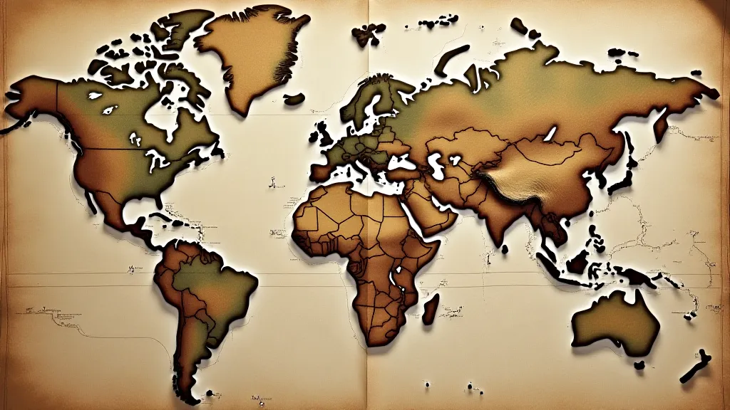
Beyond style, the geographical features depicted on the map offer crucial insights. This isn't just about identifying place names (which may be misspelled or antiquated); it's about understanding the overall accuracy and perspective of the mapmaker. Were the Americas shown as islands, reflecting early misconceptions? Was Africa accurately represented, or did it remain shrouded in mystery, populated with legendary creatures? The placement of known landmarks, the shape of continents, and the depiction of rivers and mountains all contribute to a picture of the mapmaker's understanding of the world. Look for anomalies – deliberate or unintentional errors – that might point to a specific cartographic tradition or a misunderstanding of source material.
Consider, for instance, early maps of the Pacific Ocean. The vastness of the ocean was daunting, and many cartographers filled the unknown spaces with mythical islands and fantastical creatures, drawing upon tales from explorers and the imaginations of their predecessors. Identifying these "phantom islands" can help narrow down the possible origin of the map.
The Paper Tells a Story
Often overlooked, the paper itself can be a powerful piece of evidence. Different regions produced paper with unique characteristics. The type of paper (laid, wove, linen), its watermark (if present), and its general condition can provide significant clues. Watermarks, in particular, are invaluable. They were often the identifying mark of the paper mill, and records exist that allow researchers to trace paper back to its origin. Even the color of the paper, influenced by the materials used in its manufacture, can be a distinguishing feature.
The type of ink used is also important. Early inks were often derived from natural sources – oak galls, iron, and other materials – and their chemical composition can be analyzed to determine their age and origin. The presence of copperplate engraving, for example, typically indicates a later period than hand-drawn depictions.
Dating Methods: A Temporal Framework
Once a preliminary assessment of the map's style, geography, and paper has been made, dating methods can be applied to establish a more precise temporal framework. Comparing the map to known examples of cartography from different periods can help to pinpoint its approximate date. Historical context is paramount here. Knowing when certain geographical discoveries were made, when particular artistic styles were prevalent, and when specific paper mills were in operation can significantly narrow the possibilities.
Map dating isn’t an exact science. There’s often a degree of uncertainty, but by carefully considering all available evidence, a reasonable estimate can usually be reached.
Folding Techniques: A Subtle Clue
Even the way a map is folded – or the way it *was* intended to be folded – can offer subtle clues. Folding patterns often reflected the prevailing cartographic practices of a particular region and time. Some maps were designed to be unfolded sequentially, revealing a series of geographical regions. Others were folded into complex arrangements to facilitate storage and portability. Examining the fold lines (if visible) and reconstructing the original folding pattern can provide further insights into the map’s origin and purpose.
The Collaborative Nature of Discovery
Unraveling the identity of an unsigned map is rarely a solitary endeavor. It often requires collaboration with other experts – historians, archivists, and fellow cartographic enthusiasts. Sharing knowledge and insights can often unlock new avenues of investigation and lead to breakthroughs that would be impossible to achieve alone. The beauty of this work lies not just in the final identification, but in the journey of discovery – the collaborative spirit and the appreciation for the craftsmanship of a cartographer lost to time.
The unsigned map remains a challenge, a riddle wrapped in parchment. But with patience, observation, and a collaborative spirit, we can continue to piece together the story of these forgotten cartographers, ensuring that their contributions to our understanding of the world are not lost to the sands of time.