Chronos' Echo: Deciphering the Silent Language of Map Dating Methods
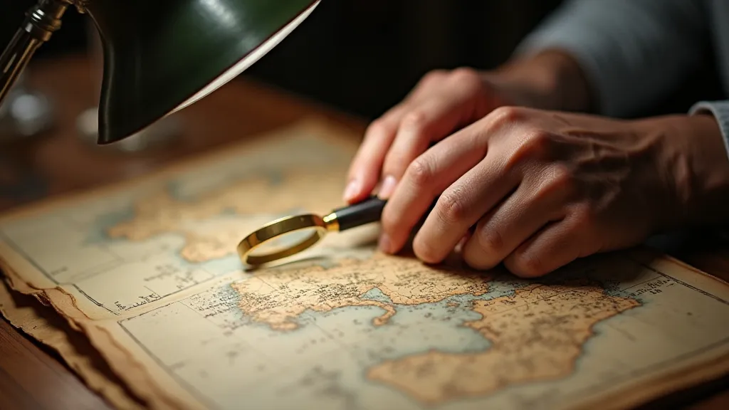
There's a quiet poetry to antique maps, a sense of voices whispering across centuries. They’re not simply representations of places; they’re windows into vanished worlds, reflections of the ambitions, beliefs, and artistry of those who created them. As an antique map restoration specialist, I'm constantly immersed in that silence, listening for the echoes of the past. One of the most captivating aspects of this pursuit is the process of map dating – a detective story played out on paper, where subtle clues unlock the secrets of its creation. It’s far more than just knowing when a map was ‘made’; it's about understanding the historical currents that shaped it.
I remember the first significant map I worked on, a fragile 17th-century depiction of the Dutch East Indies. The owner, a distinguished academic, was frustrated. He knew it was old, but its precise origin eluded him. The process of dating it felt akin to assembling a jigsaw puzzle with missing pieces, relying on fragmentary knowledge and careful observation. It wasn’t just about assigning a date; it was about connecting that date to a specific moment in history – the rise of the Dutch East India Company, the mapping of trade routes, the anxieties of colonial expansion.
The Whispers in the Paper: Watermarks and Paper Types
The first place most map dating investigations begin is with the paper itself. Watermarks, those intriguing designs embedded in the paper during its manufacture, are crucial identifiers. They’re essentially the mill’s signature, a way of marking their product. Finding a watermark is like discovering a fingerprint from the paper’s past. Different paper mills employed distinct designs, and these designs changed over time. Consulting watermark databases—some painstakingly compiled over decades—allows us to narrow down the likely origin and period of manufacture.
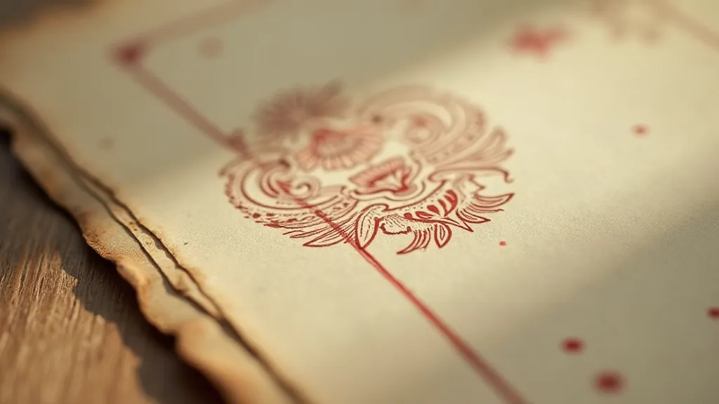
But watermarks alone aren’t sufficient. The type of paper itself—its fiber content, its color, its texture—provides additional clues. Was it laid paper, with distinct chain lines and plate marks? Was it rag paper, made from linen or cotton fibers (indicating higher quality and expense)? The presence or absence of these characteristics tells a story about the map's intended market and the resources available to its creator.
The Imprint of Technique: Printing Methods Through Time
The method used to print the map is another vital element. Early maps were often hand-colored, a painstaking process requiring immense skill and artistry. The style of coloration—the vibrancy of the pigments, the precision of the detail—can be indicative of a specific workshop or a particular period. Copperplate engraving was dominant for centuries, allowing for incredible detail and precision, but the evolution of engraving techniques can be traced through subtle changes in line weight and shading. The rise of lithography in the 19th century introduced new possibilities for reproducing images, offering a softer, more painterly effect.
I recall a recent project involving a map purported to be from the late 17th century. While the watermark initially suggested that timeframe, the coloring was surprisingly vibrant and the lines were too clean. Further analysis revealed it was a later forgery, cleverly executed but ultimately betrayed by a technical inconsistency.
Decoding the Cartography: Styles and Projections Across Centuries
Beyond the materials and printing techniques, the map’s cartographic style offers significant insights. Map projections—the way the curved surface of the Earth is represented on a flat plane—have evolved alongside our understanding of geography and mathematics. Mercator projections, famously distorting the size of landmasses, were dominant for navigation for centuries. Cartouches (the decorative title blocks) also underwent stylistic changes, mirroring the prevailing artistic trends of the time. Examining the depiction of geographical features—the accuracy of coastlines, the representation of mountains—can reveal how knowledge of the world expanded (or remained limited).
Early maps often reflected the biases and assumptions of their creators. "Here be dragons" – those fanciful depictions of unexplored territories – are a testament to the limits of knowledge and the power of imagination. These cartographic embellishments, while inaccurate, offer a fascinating glimpse into the worldviews of the people who drew them. The placement of toponyms – the names given to places – can also be revealing. Spelling variations, shifts in nomenclature, and the presence or absence of certain place names can pinpoint a map’s relative date and cultural context.
A Tapestry of Evidence: Combining Clues
The key to accurate map dating lies not in relying on a single clue, but in synthesizing a tapestry of evidence. Watermarks, paper types, printing methods, and cartographic styles must all be considered in conjunction. Each element contributes a piece of the puzzle, and it’s the careful combination of these pieces that allows us to reconstruct the map’s historical context. This often involves consulting a wide range of resources: watermark databases, historical archives, scholarly publications, and the expertise of other specialists.
This process isn't always straightforward. Forgeries, alterations, and re-impressions can complicate matters. Sometimes, a map may incorporate elements from different periods, creating a hybrid artifact that defies easy categorization. Nevertheless, the pursuit of accurate dating is a worthwhile endeavor, enriching our appreciation for these remarkable historical documents.
The Enduring Legacy of Craftsmanship
Ultimately, map dating is about more than just assigning a date. It’s about connecting with the people who created these maps—the cartographers, the engravers, the printers, the colorists—and appreciating the skill and artistry that went into their work. It's about recognizing that these maps are not just representations of places; they are tangible links to the past, whispering stories of exploration, commerce, and cultural exchange. And in preserving and understanding these silent echoes, we ensure that the legacy of craftsmanship and the richness of history endure for generations to come.